true to life
MORE THAN PHOTOREAL -NATURE REAL
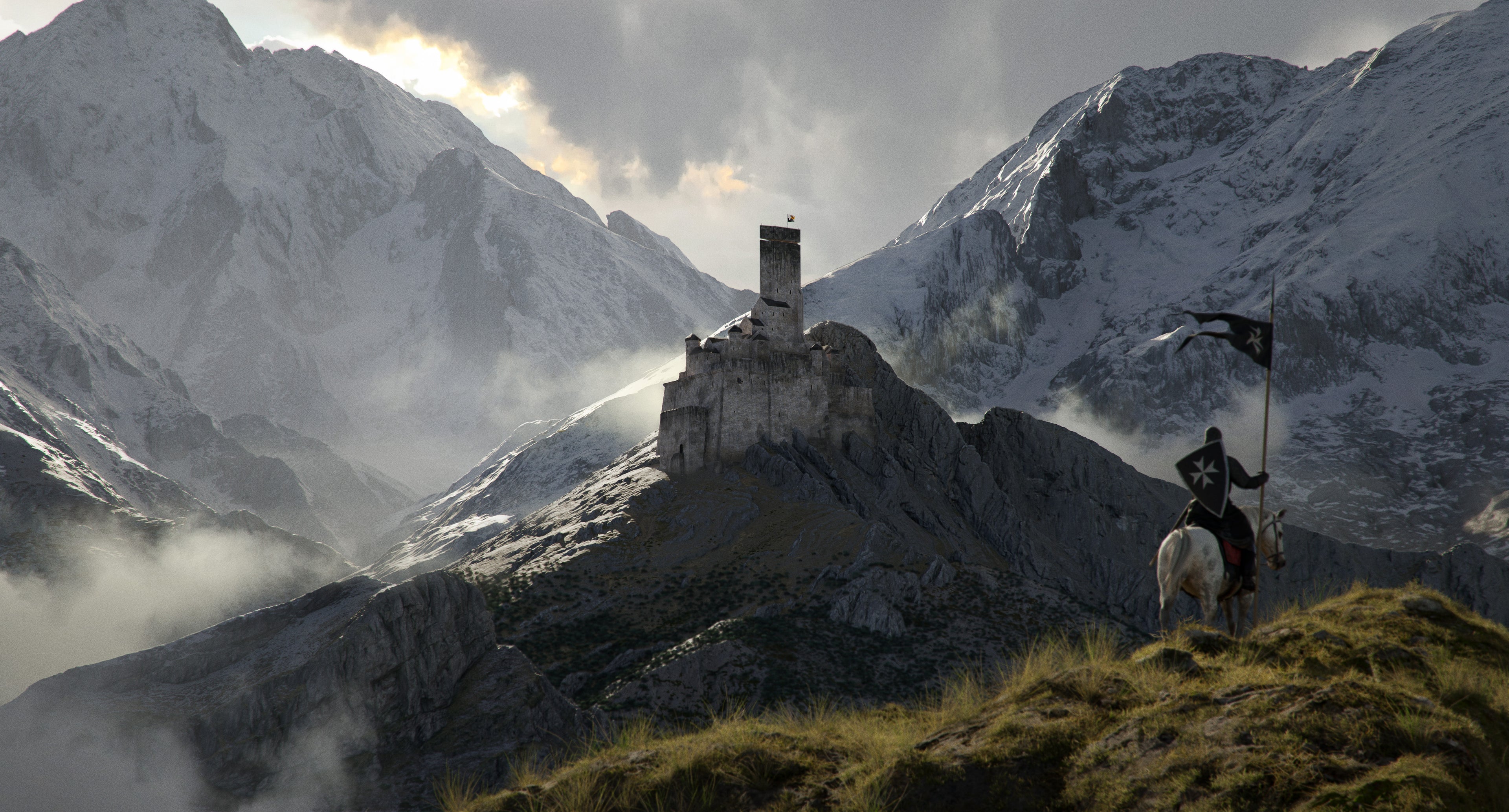
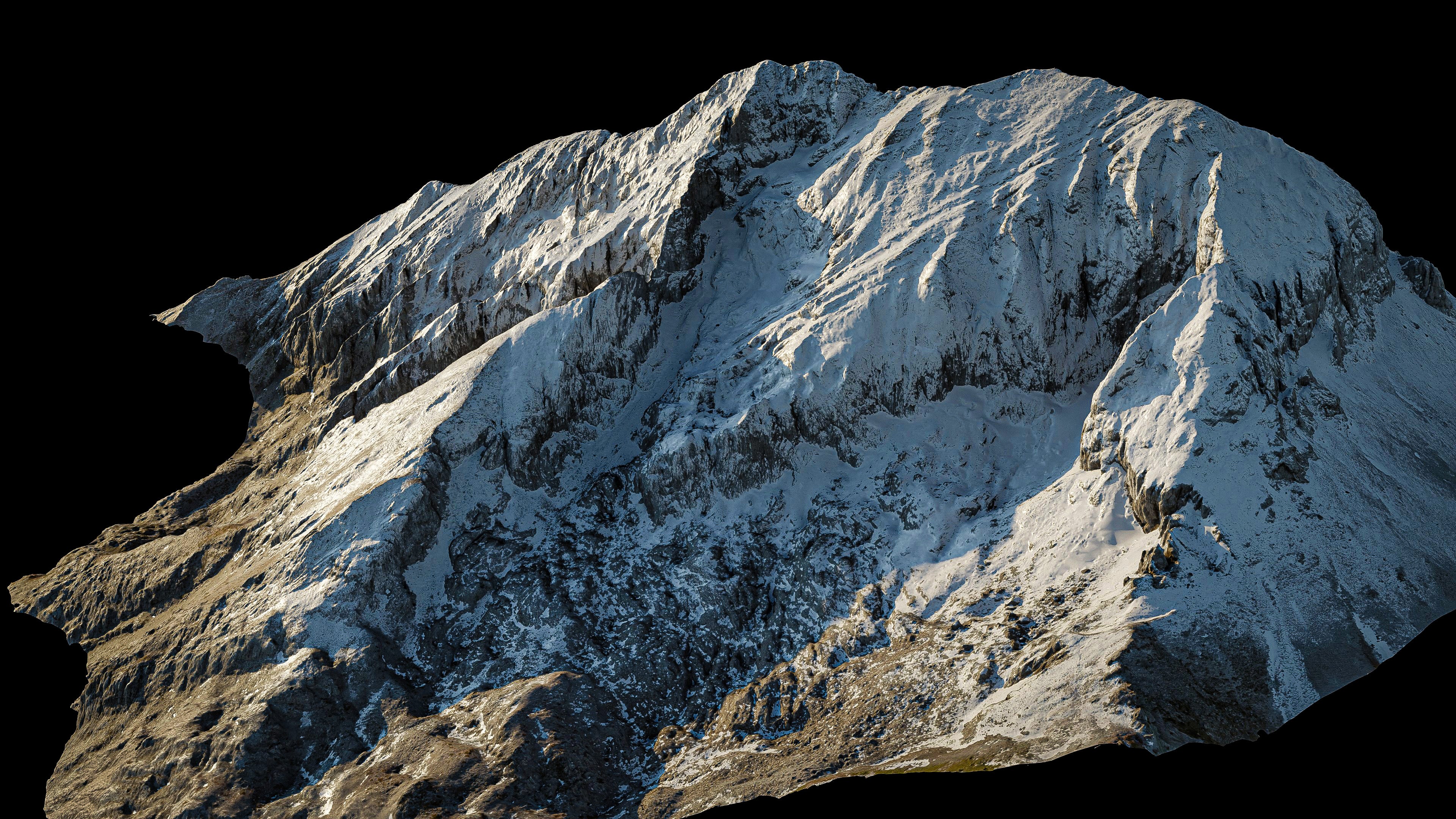
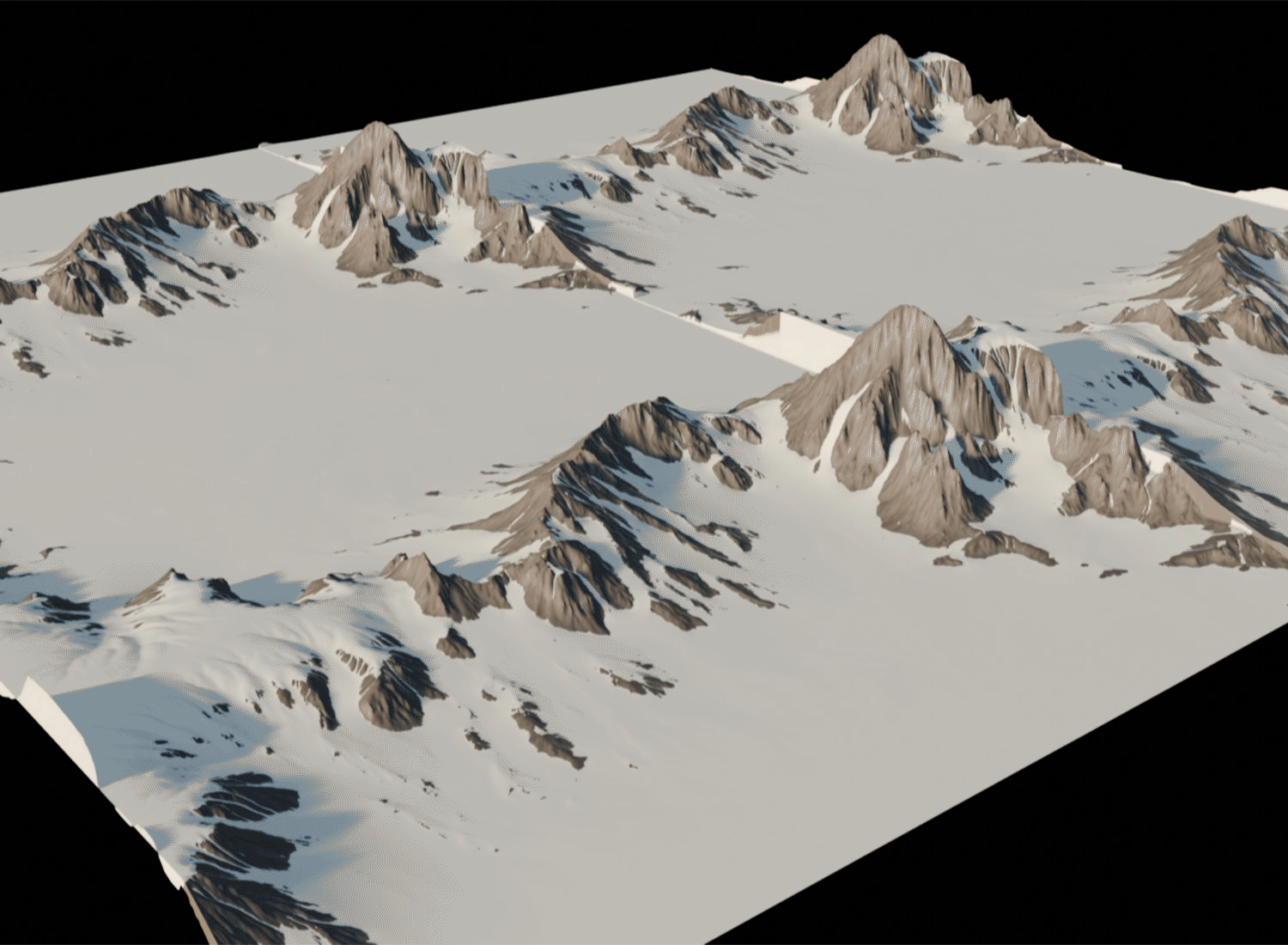
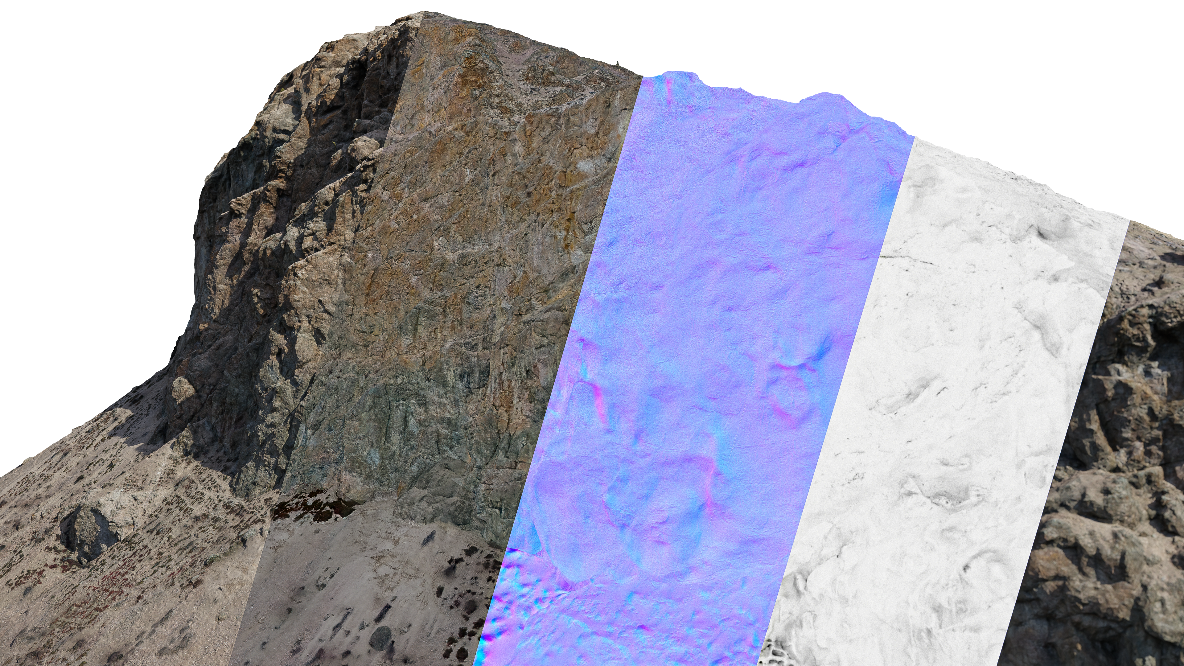
Terra xL believes no software simulation or artist can reproduce the complexity of millions of years of geological processes and all the infinite detail of nature.
Get more done
MADE FOR ARTISTS
Build epic landscapes with only a few clicks, no repeating, no tiling, no endless procedural fiddling.
Integrate
DESIGNED TO ELEVATE
Seamlessly integrate with other 3D resources to infuse a new level of naturalism, depth, and scale. Easily fix tiled heightmaps and boring compositions. Empowering creatives to achieve unparalleled levels of realism and control.
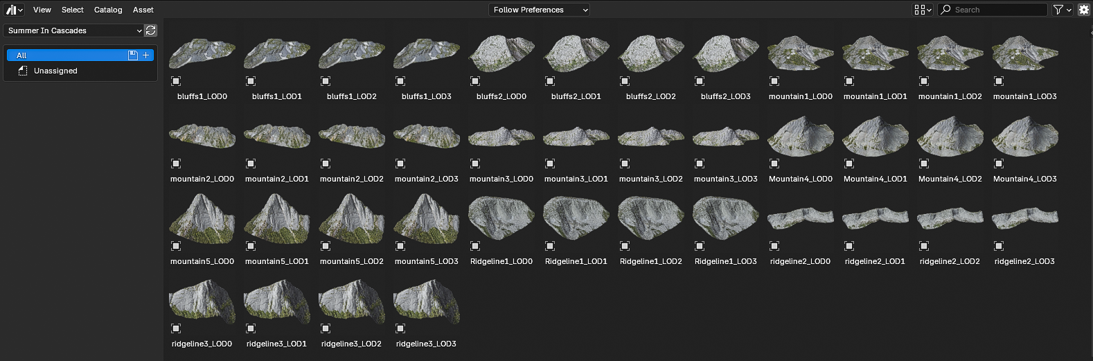
Collections
-

Winter in Northern Spain
Frosty and rugged. 15 photoscans to build out chilly mountain landscapes of...
-

Spring in Central Greece
Winter's melting snow against green spring growth. 11 photoscans of grand limestone...
-

Summer in Canadian Cascades
The Cascade Mountains rise in bold, sweeping ridges across the Pacific Northwest,...


